PILLAR_01
Remote Sensing
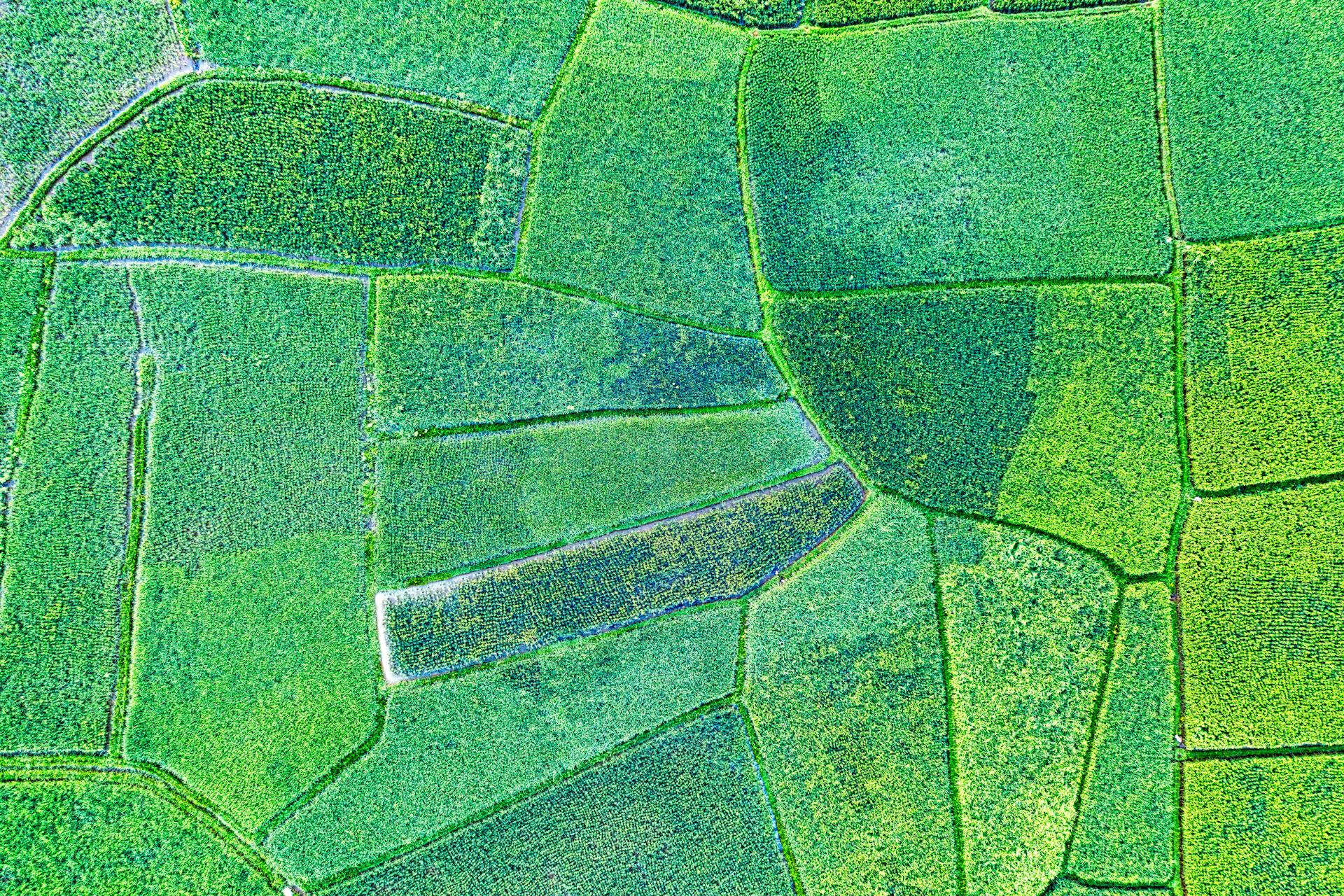
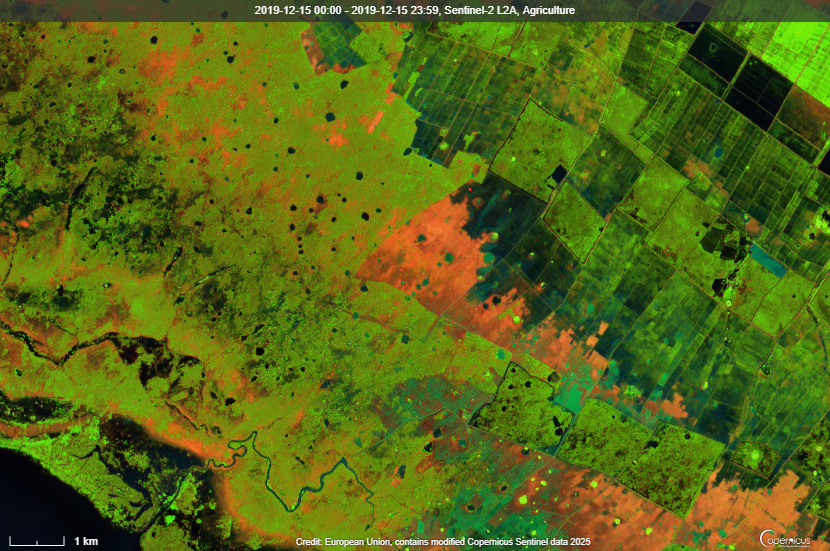
Macro views down to the micro-level using advanced satellite data. We process hyper-spectral imagery to detect changes in soil composition invisible to the human eye.
- RESOLUTION
- Sub-meter
- REVISIT RATE
- 48 Hours
Dem8r merges cutting-edge remote sensing with artificial intelligence to empower farmers, verify carbon sequestration, and drive regenerative agriculture.
30 cm
AI ACCURACY
2M+
ACRES ANALYZED
28k+
IN SITU MEASURES
THE CHALLENGE
Our ultimate, frictionless solution provides autonomous carbon verification and agronomic intelligence at scale.
PILLAR_01
Macro views down to the micro-level using advanced satellite data. We process hyper-spectral imagery to detect changes in soil composition invisible to the human eye.
PILLAR_02
Proprietary algorithms that turn raw pixels into actionable agronomic insights. Our machine learning models are trained on millions of ground-truth data points to ensure peak performance.
Tell us about your operation and our team will show you how Dem8r turns remote sensing into verified, monetizable carbon.